
Orthomosaic Maps
3D Point Cloud
Digital Surface Models (DSM)
Oblique Camera Map
Thermal Map
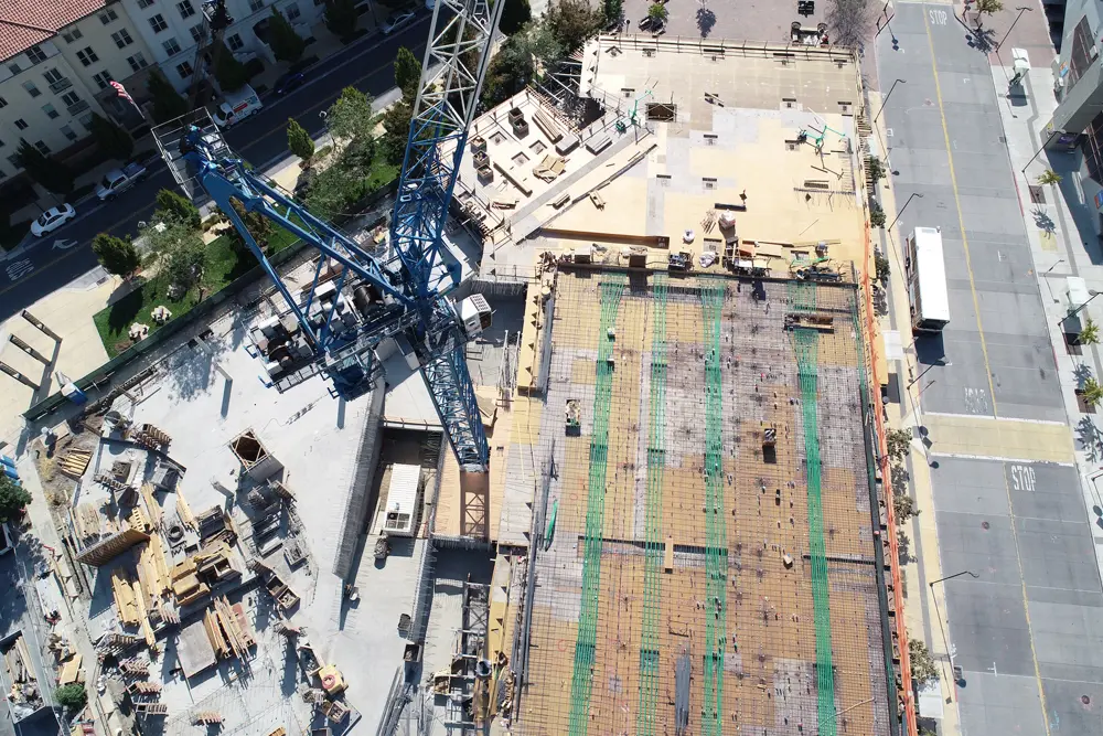
Orthomosaic Maps

Orthomosaic maps offer significant benefits in the mining industry. By providing high-resolution, accurate representations of mining sites, these maps assist in various stages of mining operations.
During exploration, orthomosaic maps aid in identifying potential mineral deposits and mapping geological features. In mine planning and design, these maps provide valuable information for determining optimal extraction methods, assessing slope stability, and managing environmental impacts. Additionally, orthomosaic maps support monitoring and inspection activities by tracking changes in the mine site over time, identifying potential hazards, and facilitating compliance with regulations.
The detailed and georeferenced nature of orthomosaic maps enhances operational efficiency, safety, and environmental management in the mining industry.
3D Point Cloud

3D point clouds offer significant benefits in the mining industry. By capturing detailed spatial information in three dimensions, these point clouds provide a comprehensive representation of mining sites and their surrounding environment.
This enables precise volumetric calculations, accurate terrain modelling, and identification of potential geological features. 3D point clouds assist in mine planning and design by supporting optimal extraction strategies, evaluating rock stability, and facilitating blast planning. They also aid in monitoring and management by detecting changes in the mine site, assessing stockpile volumes, and monitoring environmental impacts.
With their ability to capture fine-scale details and enable advanced analysis, 3D point clouds enhance operational efficiency, safety, and decision-making in the mining industry.
Digital Surface Models (DSM)

Digital Surface Models (DSMs) provide significant benefits in the mining industry. By accurately representing the Earth’s surface, including terrain and above-ground features, DSMs offer crucial information for mining operations.
They support activities such as mine planning, site evaluation, and infrastructure design by providing precise elevation modelling and visualisation. DSMs aid in determining optimal extraction methods, assessing cut and fill volumes, and identifying potential hazards and slope stability issues.
Additionally, DSMs enable accurate topographic mapping, allowing for the integration of spatial data with other mining-related information. With their ability to provide detailed surface information, DSMs contribute to improved decision-making, enhanced safety, and increased operational efficiency in the mining industry.
Oblique Camera Map

Oblique camera maps offer valuable benefits in the mining industry. By capturing aerial images from multiple angles and perspectives, these maps provide a comprehensive view of mining sites and their surroundings.
Oblique camera maps aid in mine planning, design, and monitoring by providing detailed visual information about the terrain, structures, and infrastructure. They assist in assessing geological features, identifying potential mining targets, and evaluating the impact of mining operations on the surrounding environment.
The oblique imagery allows for accurate measurements, precise feature extraction, and enhanced visualisation, enabling better understanding and decision-making in the mining industry. Additionally, oblique camera maps support safety inspections, compliance monitoring, and communication with stakeholders by providing clear and realistic visual representations of mining sites
Thermal Map

Thermal maps offer valuable benefits in the mining industry. By capturing thermal infrared data, these maps provide critical insights into the temperature variations within mining sites and equipment.
Thermal maps aid in identifying potential issues such as overheating machinery, abnormal hotspots, or equipment malfunctions. This information allows for timely maintenance and prevents costly breakdowns or accidents.
Furthermore, thermal maps can be utilised for assessing the efficiency of thermal management systems, optimising energy usage, and identifying areas of potential heat loss or waste. By enabling proactive maintenance, improving safety, and optimising operations, thermal maps contribute to increased productivity, reduced downtime, and improved cost-effectiveness in the mining industry.