Effortlessly Powerful Flight
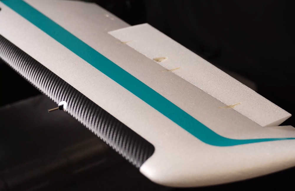
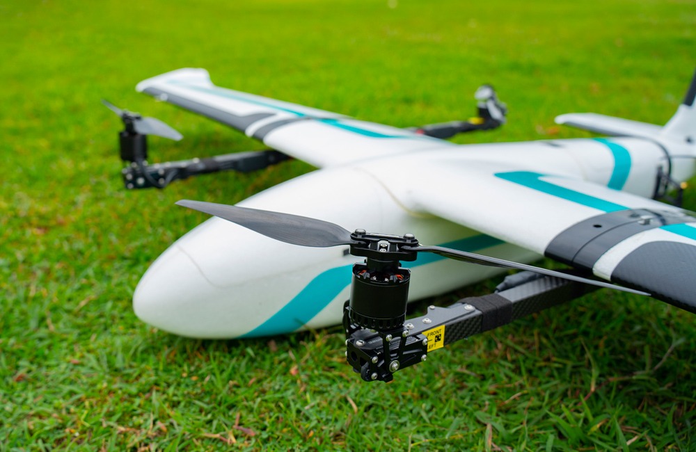
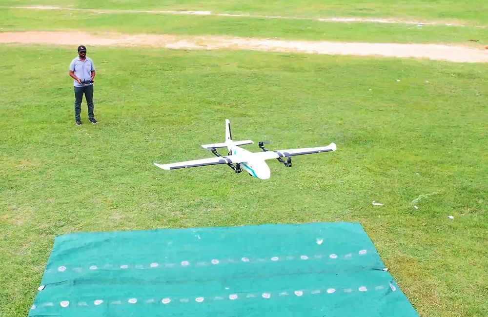
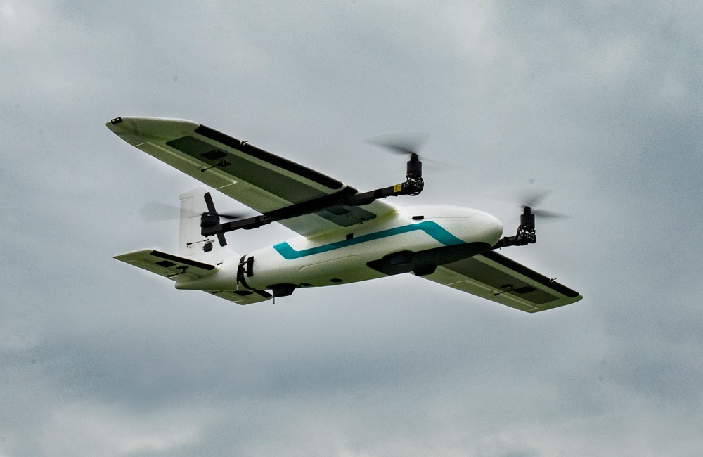
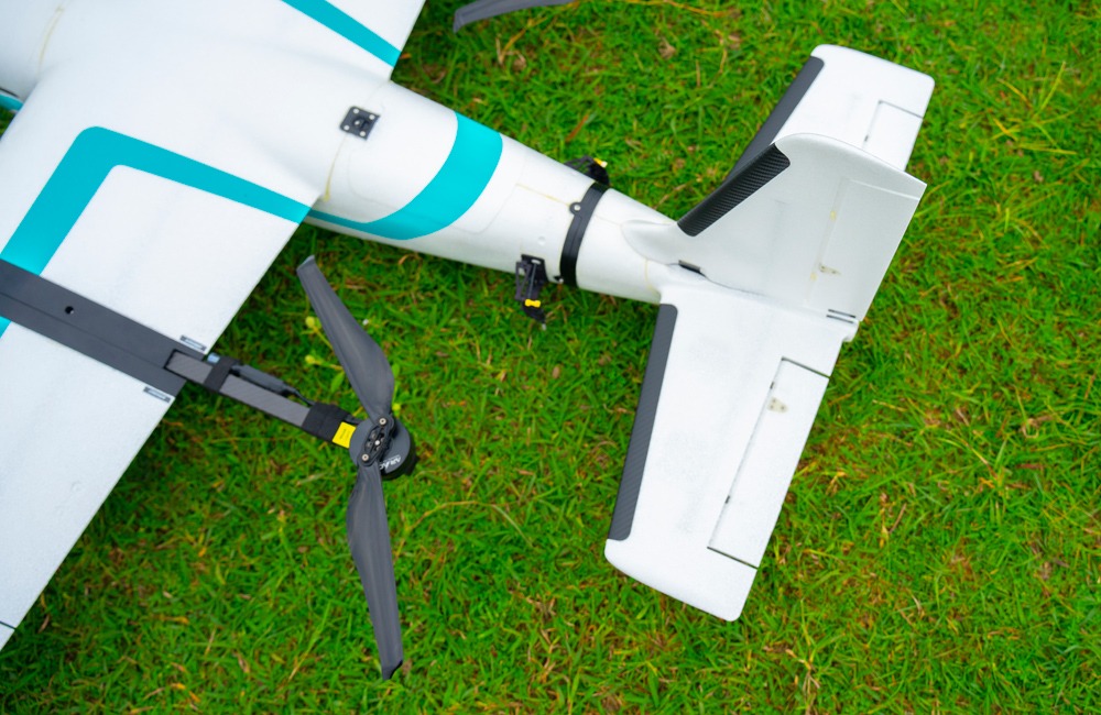
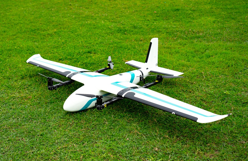
VYOMA-M is a fixed-wing VTOL Drone that can take-off from anywhere and operate for a flight time of 2+ hours. This drone is built with high quality composite material, which ensures sturdiness and durability.
The drone is electrically powered with low maintenance requirements. With various camera options the drone can cover a larger area in a single flight as such you can complete your operation in half the time compared to most of the Fixed Wing VTOL drones of this category in the market.
Key Features
Fully Autonomous
Multiple Mapping Payload options
Accurate and Seamless Data Acquisition
High performance and Reliability
Airborne in Minimal Time
Fully Autonomous
Multiple Mapping Payload options
One drone, multiple payload options. With the range of camera payload options, you won’t need to purchase multiple UAVs for different operations, you can save money on your investment
Accurate and Seamless Data Acquisition
With the PPK Module, there would be no more GCP points. Find accuracy upto 5mm. Data is accurate without tedious tasks.
High performance and Reliability
Cutting-edge technology and multiple redundancy systems for safe operation VYOMA Drone is a Reliable System. Durable Composite Material ensures robustness and longevity. Fly it with no more worries.
Airborne in Minimal Time
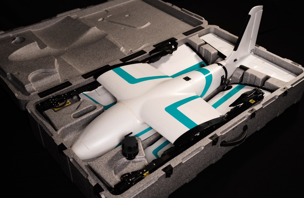
Field assembly is quick and simple. It requires no tools at all and takes less than 30 seconds. It’s all plug and play. No Preflight calibration required
Efficient Mapping Solutions
Master Your Mission Environment
Explore Payload Options
-
RGB Mapping
-
Multispectral
-
Thermal
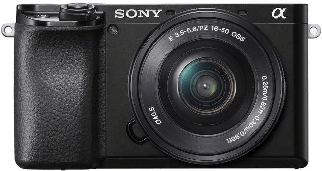
Sony A6100
Sony RX1R II
ADTI 24MP
ADTI 42MP
ADTI 61MP
Oblique
Sony A6100
Sony RX1R II
42.4 megapixel 35mm Full-frame CMOS sensor & High resolution Images and 4k Video
ADTI 24MP
24 megapixel APS-C CMOS sensor Mapping Camera for High Resolution mapping Images and compatible with PPK modules
ADTI 42MP
42 megapixel full-frame Sony CMOS sensor Mapping Camera for High Resolution mapping Images and compatible with PPK modules
ADTI 61MP
61 megapixel full-frame Sony CMOS sensor Mapping Camera for High Resolution mapping Images and 4K videos and compatible with PPK modules
Oblique
120 megapixel Effective Pixel with 5 cameras for Detailed Mapping image capture for better 3D modelling
Parrot Sequoia
MicaSense Rededge P
Micasense Rededge Altum PT
Parrot Sequoia
4 Multispectral bands
- Green (550nm ± 40nm)
- Red (660nm ± 40nm)
- Red edge (735nm ±10nm)
- Near infrared (790nm ± 40nm)
16 MegaPixel RGB
MicaSense Rededge P
5 Multispectral bands
- Blue (475 nm center, 32 nm bandwidth)
- Green (560 nm center, 27 nm bandwidth)
- Red (668 nm center, 14 nm bandwidth)
- Red edge (717 nm center, 12 nm bandwidth)
- Near-IR (842 nm center, 57 nm bandwidth)
5.1 MegaPixel RGB
Micasense Rededge Altum PT
5 Multispectral bands
- Blue (475 nm center, 32 nm bandwidth)
- Green (560 nm center, 27 nm bandwidth)
- Red (668 nm center, 14 nm bandwidth)
- Red edge (717 nm center, 12 nm bandwidth)
- Near-IR (842 nm center, 57 nm bandwidth)
12.4 MegaPixel RGB 320 X 256 FLIR LWIR thermal infrared 7.5-13.5um radiometrically calibrated
FLIR Vue Pro 336
FLIR Vue Pro 640
FLIR Vue Pro 336
- 336 × 256 FLIR LWIR thermal infrared 7.5-13.5um radiometrically calibrated
- Uncooled VOx Microbolometer
FLIR Vue Pro 640
- 640 × 512 FLIR LWIR thermal infrared 7.5-13.5um radiometrically calibrated
- Uncooled VOx Microbolometer
Intelligence Redefined
Dual Airspeed Sensors Continuously monitors the wind and gives warning for RTL incase of high wind.
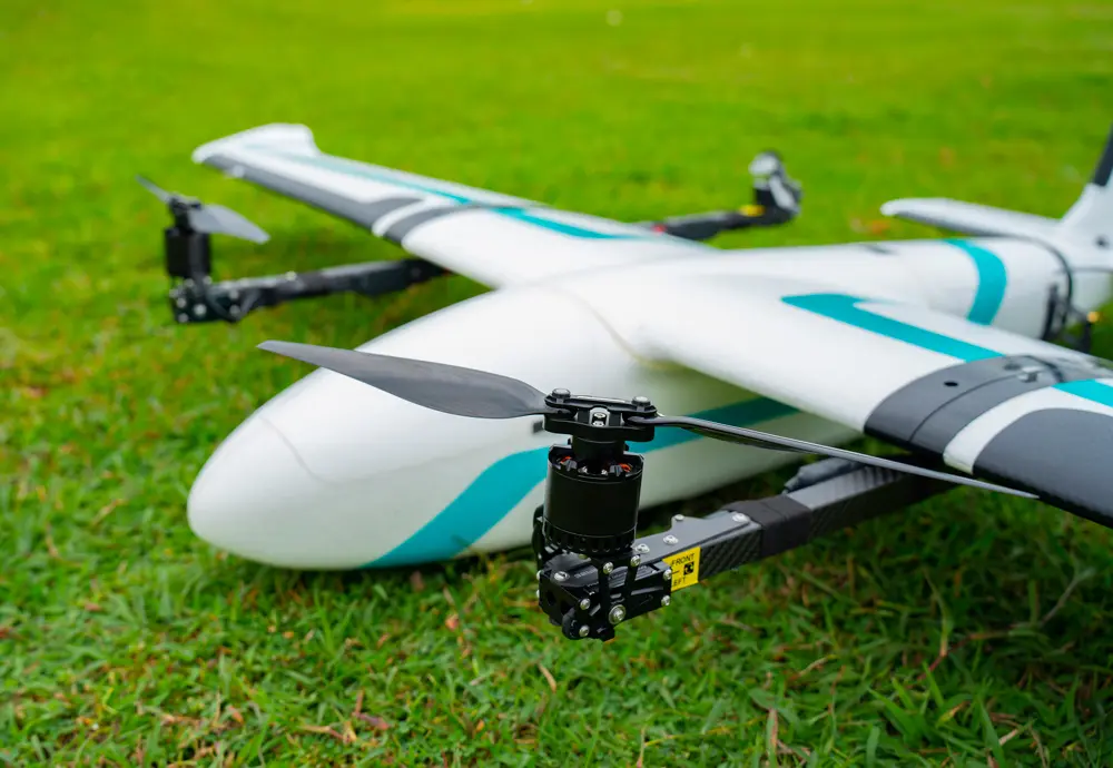
Tilt Motor Drone still flies despite motor failure. Tilt motor also supports high wind resistance.
Terrain AGL Drone monitors terrain AGL and triggers QRTL incase of lower terrain AGL to prevent crash.
Smart Battery Script The drone system notifies us about how much flight time remaining
Easy Assembly Drone be assembled in less than 30 seconds.
Wind Vane Drone heads against the wind automatically while take-off and landing.
Dual GPS It uses 2 high accuracy GPS which is located on the horizontal stabilisers.
Flight Time Has a proven 2+ hours of endurance, doesn't get overheated during the entire flight.
Swappable Payload Bay Equipped with easily swappable payload bay for multiple payloads.
Waypoint Based Navigation Missions can be planned and executed with the help of intuitive command and control.
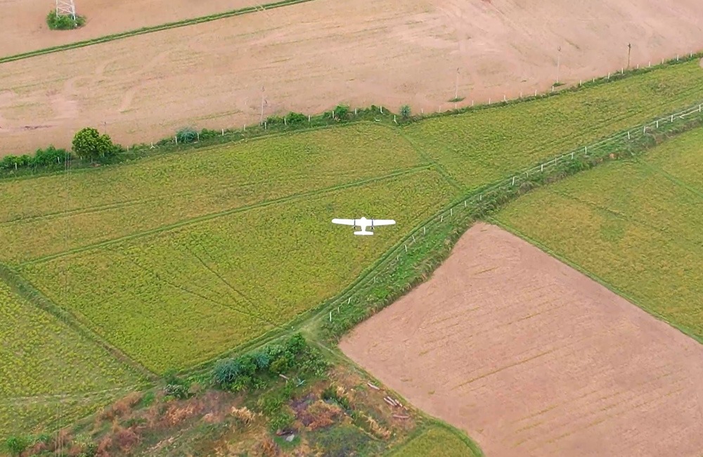
Autonomous Flight Drone can operate 100% autonomously, from takeoff to landing, with no piloting.
Engineered for Precision and Accurate Data Collection with Post Processed Kinematics-PPK
In order to validate and tag your drone imagery to the ground for traditional drone surveying, you need a large enough number of Ground Control Points(GCP). GCP is a tedious task and high accuracy cannot be achieved. Positioning with centimeter accuracy in Post Processing Kinematics(PPK) for precise UAV mapping with less/no GCPs. VYOMA-M with PPK, collects better accurate data without the tedious GCP process. Easy Data Collection in reduced time and effort.
Get Up Close with VYOMA
Soar into Insights
Drone Category
Small Class UAV
Wingspan
213 cm
Wind resistance at flight altitude
12m/s at takeoff and landing & 22m/s during flight
Battery
Lithium-Ion
Operating Frequency
2.4 GHz
MTOW
8.5 kg
Flight time (on a single battery)
2+ hours
GNSS Grade
PPK/RTK Enabled onboard GNSS along with Base (Master) GNSS receiver
Failsafes
- Return Home on Comms failure
- Return Home/Land on low battery
- DUAL GPS on-board for GPS failure
- Return to Home on High Wind
- Smart Low Battery Predictor
- Terrain Avoidance
Propulsion
Electric
Maximum Operating Altitude
5000m ASL
Cruise Speed
15 – 19 m/s
Deployment Time
< 1 minutes
Working temperature
-10°C to 55°C
Max payload
Landing and Takeoff
VTOL
Communication
Absolute X, Y, Z accuracy
< 10cm
See How the VYOMA-M Drone Can be Used in Your Industry
Get your hands on the Smartest, Fastest & Most Versatile Solution
Unlock the limitless potential of VYOMA-M today.