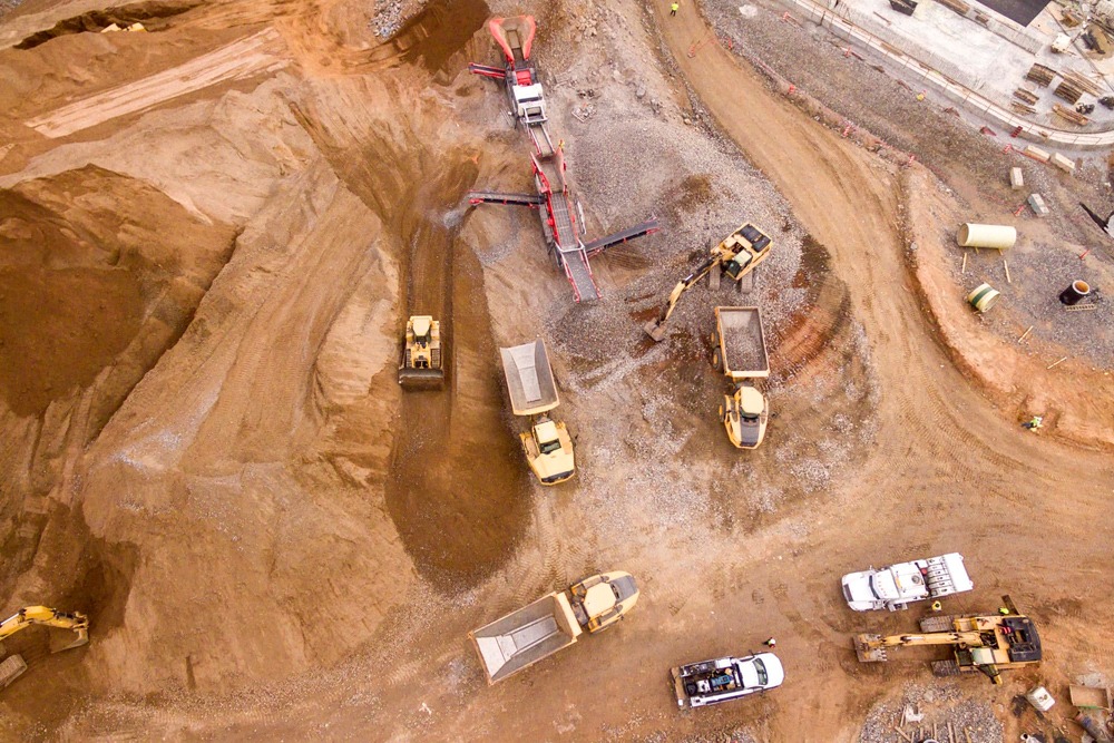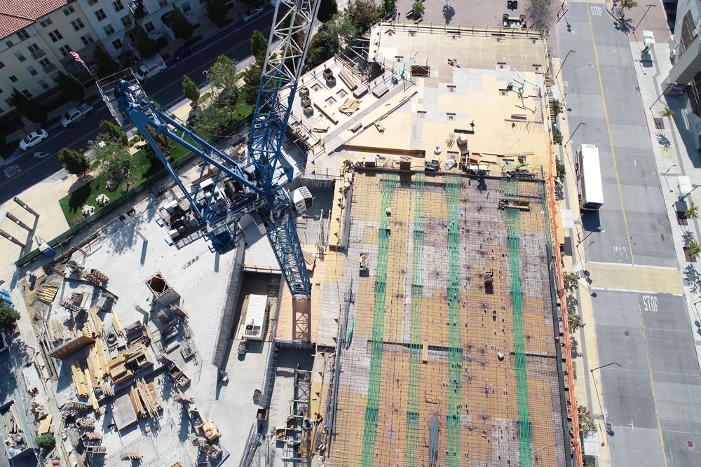
A drone image that has been corrected for lens distortion, camera tilt, perspective, and
topographic relief (i.e., elevation changes on the Earth’s surface) and stitched together in post-processing to create a large map-quality image with a high level of detail and resolution.
A photorealistic depiction of a location is provided by orthomosaic maps, which can yield surveyor-grade measurements of the topography, infrastructure, and buildings in a given area. Numerous orthoimages, also known as orthophotos, make up each an orthomosaic map.


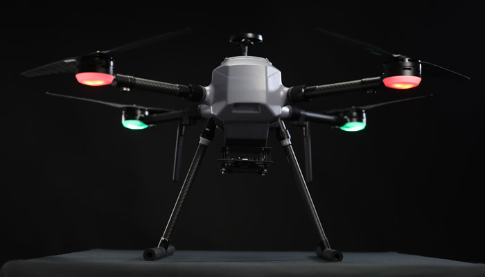
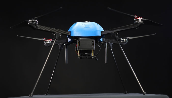


 Oblique cameras can not only truly show the detailed texture information of the ground with high precision but also generate a variety of results such as 3D Model, DSM, and DLG through advanced positioning and modelling technologies.
Suitable for Urban Planning, Infrastructure, City mapping and for smart city projects. Oblique imagery allows 3D meshes to be created, which is a huge benefit to geospatial analysis. It allows the actual terrain to be measured not in a straight line, but in an actual topographic line that includes elevation changes for point-to-point distance.
