
24.2 megapixel Exmor CMOS sensor & High-resolution Images and 4K Videos
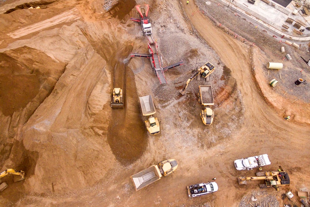
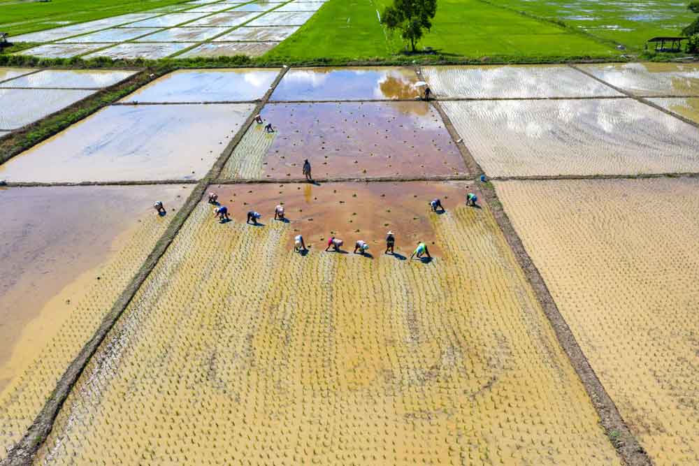
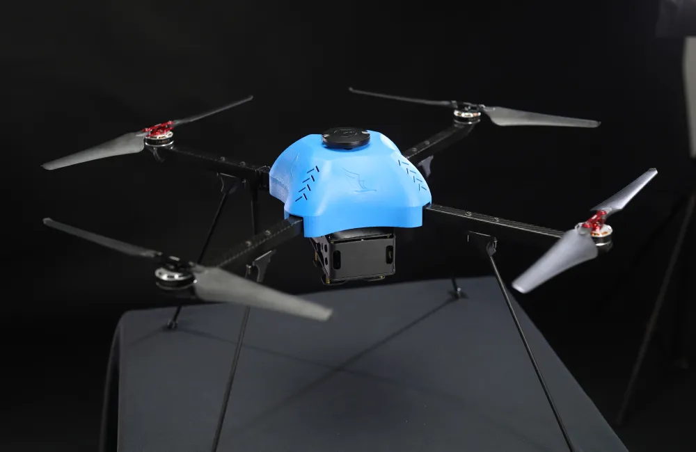
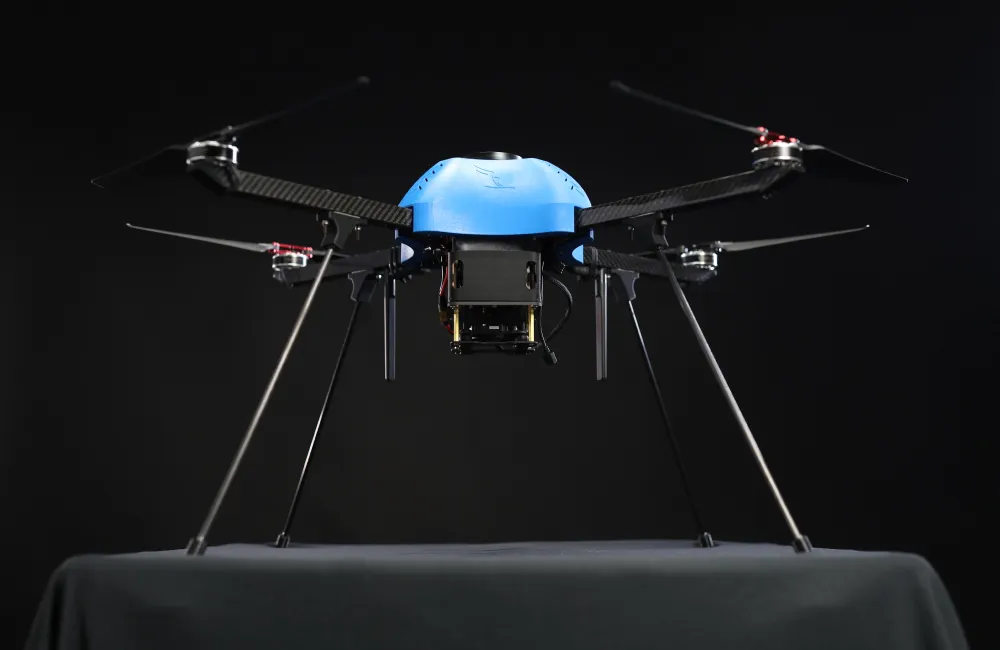
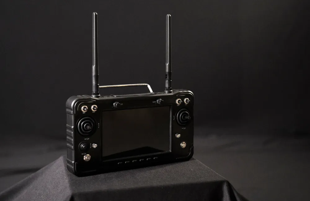
Aerial Mapping made Easy with VAJRA-M
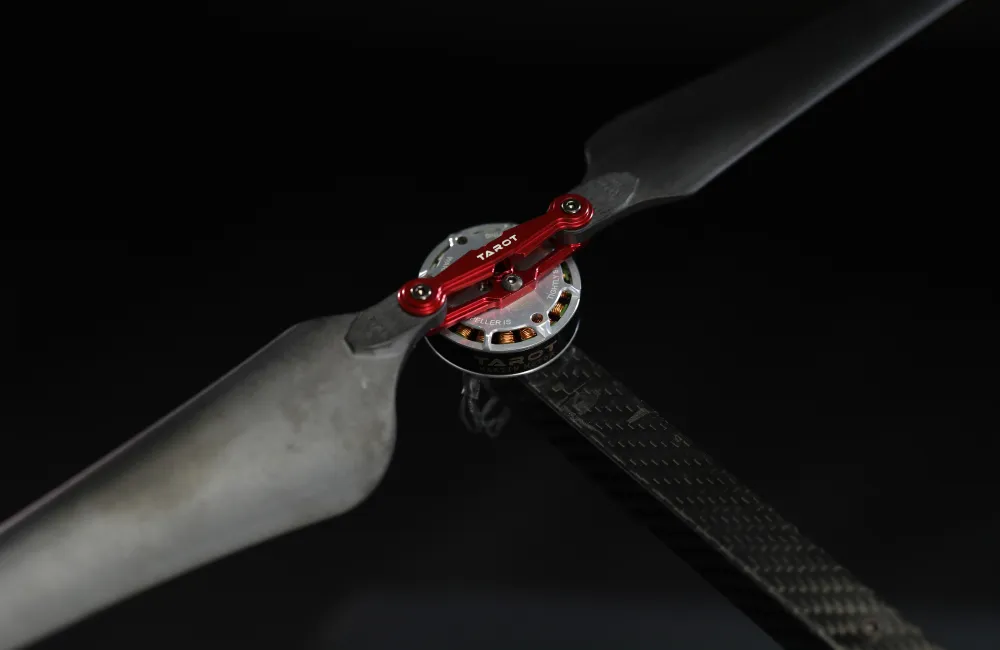
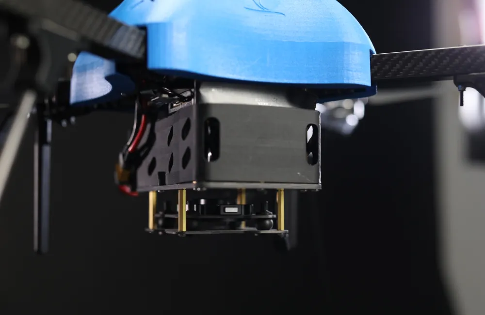
VAJRA -M is a high-performance quadcopter drone built for mapping applications with an impressive 40-minute endurance. Equipped with advanced GPS technology and a professional-grade mapping payloads, it efficiently captures accurate aerial imagery and data for all your mapping needs.
Capture stunning aerial imagery, generate precise maps, and complete complex surveying projects with good flight time, ensuring efficiency and accuracy like never before while being friendly to your budget.


Drone Category
Small Class UAV
Wind resistance at flight altitude
Battery
Lithium-Ion
Operating Frequency
2.4 GHz
MTOW
Flight time (on a single battery)
upto 40 mins
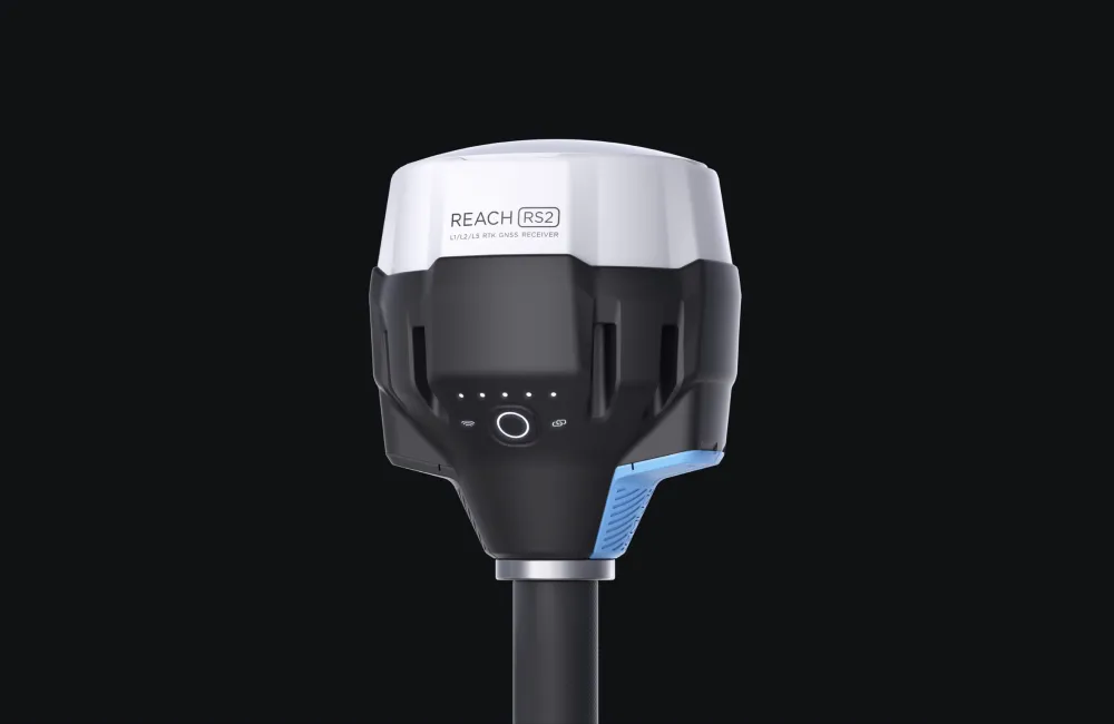
GNSS Grade
Failsafes
Propulsion
Electric
Maximum Operating Altitude
Cruise Speed
Deployment Time
< 1 minutes
Working temperature
-10°C to 55°C
Max payload
Landing and Takeoff
Communication
Absolute X, Y, Z accuracy