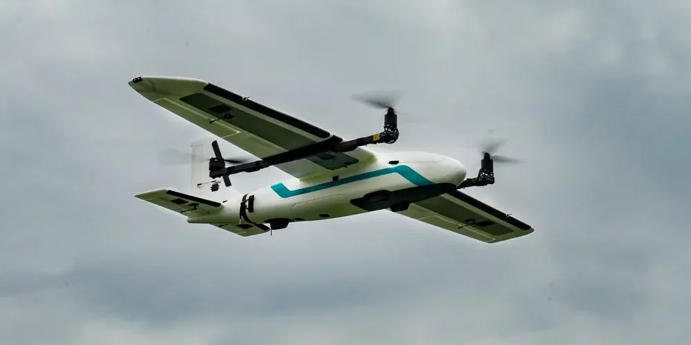
As technology continues to advance, it is no surprise that the use of drones is becoming more prevalent in a variety of industries. One such industry is surveying. Drones in surveying have become an important tool for land surveyors as they offer a more efficient and accurate way to gather data. In this blog, we will explore the various ways in which surveying drones can be used and how they can benefit the surveying industry.
What is Surveying?
Before we delve into the use of aerial drone survey, it is important to understand what surveying is. Surveying is the process of measuring and mapping the Earth’s surface. This can be done for a variety of reasons such as creating maps, determining property boundaries, or preparing for construction projects.
What are Surveying Drones?
Surveying drones, also known as UAVs (unmanned aerial vehicles), are aircraft that are controlled remotely by a pilot on the ground. They are equipped with cameras and other sensors that allow them to gather data from the air. This data can then be used to create highly accurate maps and models of the Earth’s surface.
How to use drones in surveying
Using drones for surveying has become increasingly popular due to their ability to cover large areas quickly and provide high-resolution images and data. Here are the general steps to follow when using drones for surveying:


Hi, this is a comment.
To get started with moderating, editing, and deleting comments, please visit the Comments screen in the dashboard.
Commenter avatars come from Gravatar.